
Trace East Hempfield Township Streets
A street-by-street search in East Hempfield starts with the County Property Tax Inquiry, also called wEdge. Select municipality 290 East Hempfield Twp before comparing a street or owner name. That filter matters because a postal label or a similar road name can point elsewhere in Lancaster County. The returned property record is a parcel lead, not a household roll. It may identify the assessment account, the owner field, site address, property characteristics, and a deed reference that can be checked in separate county systems.
- Enter the street name, a low and high house number, and municipality 290 in wEdge Advanced Search. Keep the account or parcel number from each relevant result.
- Open the same parcel in LanCo View 2.0 and compare the road line, parcel boundary, acreage, dimensions, and deed reference.
- Use the parcel number, legal municipality, or deed reference in the Recorder search. Record the document number, date, and parties before drawing a connection.
- Read the acquisition document, then search the prior grantor as a grantee to locate an earlier recorded link. Recheck the legal description at each turn.
- For a dated municipal event, ask Development Services for an existing file by precise address or parcel and a defined date range.
Pennsylvania’s Find Voter Registration Status tool is an individual confirmation service, not a browseable street list. It cannot fill the gap between a tax-record owner and every person at an address. For a historical published-name check, Lancaster Public Library’s directory holdings need a year and place confirmation first; the East Hempfield Township city directory collections describe that separate shelf.
Search East Hempfield Township wEdge Streets
wEdge offers more than a single parcel-number box. Its Advanced Search supports a bounded street segment and several useful cross-checks. The county portal warns that online property and tax information may not show very recent changes, so note the access date and confirm a close question with the custodian. Use the property class or land-use controls to refine a set of parcels, not to make claims about the people associated with them.
| wEdge field | Street use | East Hempfield detail |
|---|---|---|
| Owner Name | Find assessment records under a taxpayer name. | Advanced Search; an owner label does not identify all occupants. |
| House Number, Low and High | Bound a segment instead of searching every county result. | Use with Street Name. |
| Street Name | Find site-address candidates on one road. | Pair it with 290 East Hempfield Twp. |
| Township/Municipality | Limit a countywide search to the right jurisdiction. | The dropdown includes 290 East Hempfield Twp. |
| Parcel Number | Return to a known assessment account. | The Basic Search path shows a 13-character maximum. |
| Class, use, sale, year, and area | Refine a property set with recorded assessment criteria. | Advanced Search has class/use, sale price/date, year-built, and square-footage ranges. |
Lancaster County Property Tax Inquiry is shown in the assigned wEdge capture below. Start with the fields that match the record in hand, then save the parcel and deed-reference details for the next source.
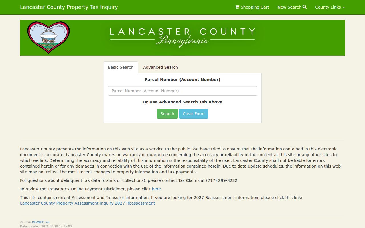
The screen represents the county assessment route, where an address range and municipality can reduce noise before a parcel is checked on the map.
Map East Hempfield Township Street Parcels
LanCo View 2.0 is the free public map companion to wEdge. The County GIS Division describes parcel information that includes acreage, dimensions, deed reference, roads, and aerial imagery. Move along a road one parcel at a time, use the selected parcel as the unit of research, and then return to wEdge or the Recorder for the record that gives the map feature its documentary context. The public viewer is scheduled for Sunday maintenance from 7 a.m. to noon.
The Lancaster County GIS Division provides the image below and identifies LanCo View 2.0 as its free public application.
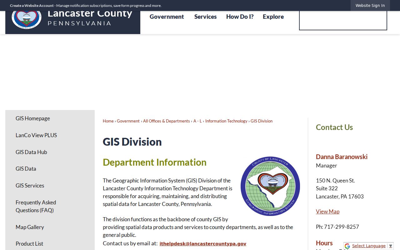
A parcel outline can establish geographic adjacency, but it does not establish a social relationship, a current household, or a voter record for that location.
Trace East Hempfield Township Street Deeds
The Lancaster County Recorder of Deeds provides a deep recorded-document trail. Its live search notice was inspected with certification coverage from May 10, 1729 through August 28, 2026. Search fields include both names, grantor, grantee, recording-date range, document number, book and page, municipality, lot, block, unit, parcel number, and document types. The portal also supplies advanced name-search guidance for spelling variants, wildcards, sounds-like terms, fuzzy matching, and grouped searching.
A grantor is the party conveying an interest. A grantee is the party receiving it. For an address trail, locate a present acquisition, keep its recorded legal description, and search the former grantor as a grantee for an earlier acquisition. A split parcel, merged parcel, estate, or entity owner calls for a pause and reconciliation, not an assumed straight line.
The Lancaster County Recorder of Deeds is the source shown here, with the official route to its document search and recording information.
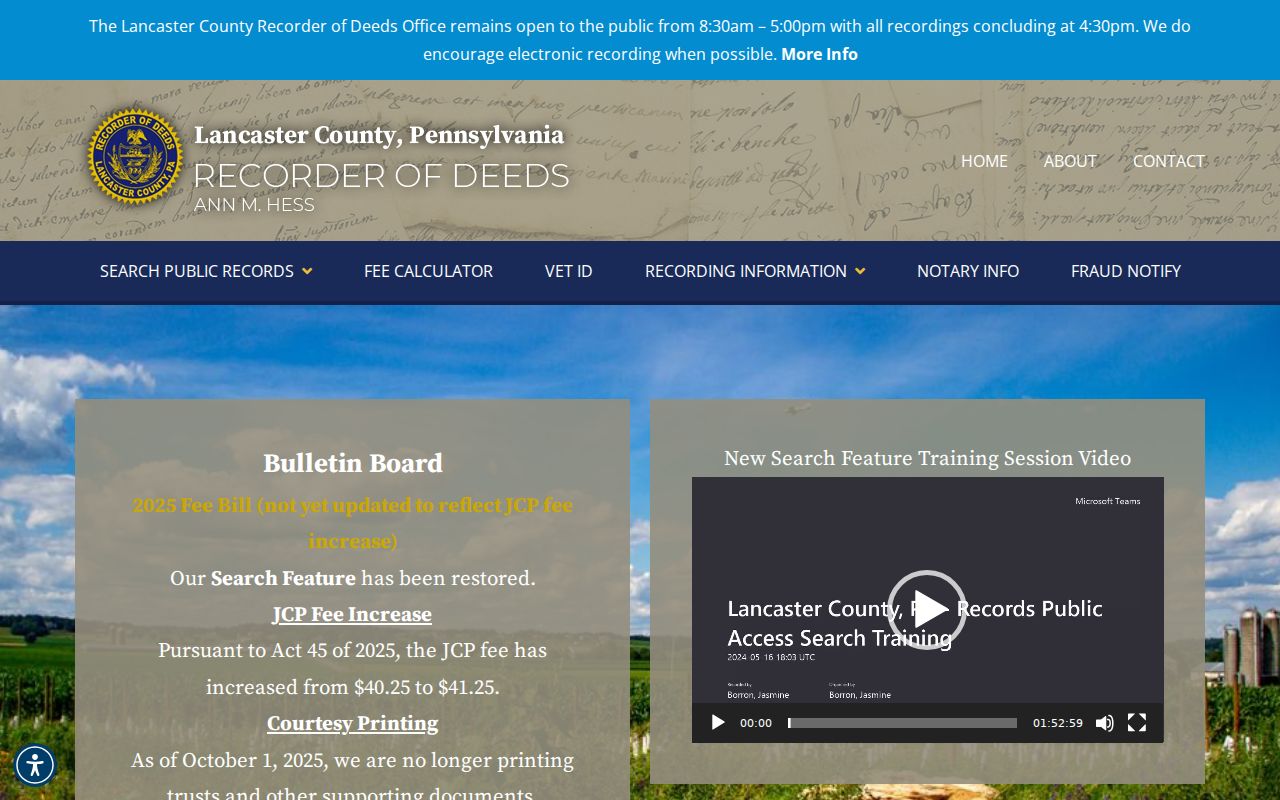
The Recorder index is like a catalogue entry, so an indexed hit should be paired with the image or an official copy before it is treated as a completed title link.
Recorder Fraud Notify is also pictured below. It can alert a registrant when a document records under that name, but it does not replace a full document or parcel search.
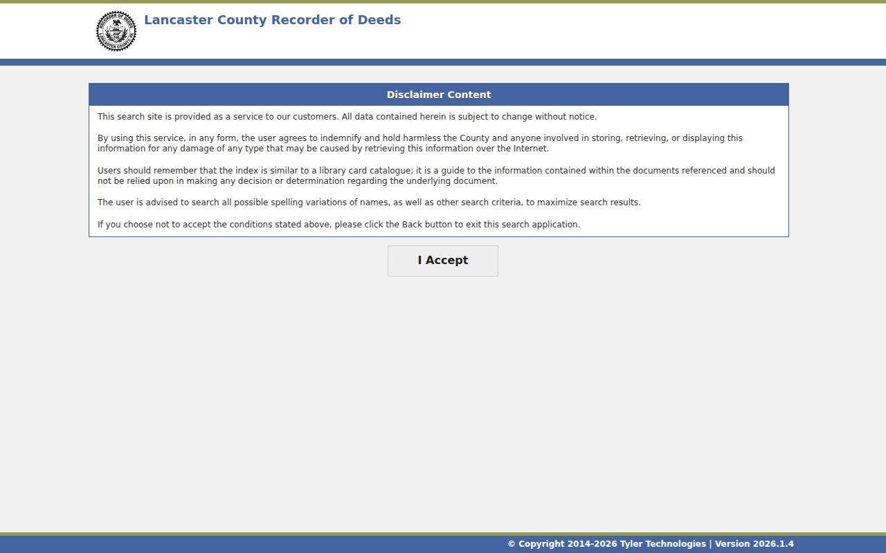
Use the alert service as a notice tool only, then inspect the actual recorded document through the Recorder route when an alert or a deed-reference warrants review.
Request East Hempfield Township Address Files
Township Development Services has a different role from the county property systems. Its Building and Zoning page lists permit review, inspections, code enforcement, a complaint form, and records-research requests. No searchable Township-wide permit or code-case database was located. For an existing record, supply a property address or parcel number, a narrow date range, and the kind of record sought. Start at county level so the request uses the same site identity as the property record.
A records-research request, a counter or phone inquiry, and a Pennsylvania Right-to-Know Law request are documented fallback channels. RTKL access concerns existing Township-held records; it does not require the Township to assemble a custom roster. Protected material may be redacted or withheld. Permit activity can place a property event in time, but it does not prove who was living there.
East Hempfield Township Development Services is the source for the municipal services pictured below.
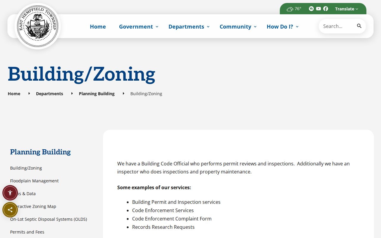
The municipal route is best used for a defined file request after the address and parcel have been checked in the county systems.
Compare East Hempfield Township Historic Streets
There is no verified Township-wide renumbering or renamed-street project in the inspected sources. Instead, use the real geographic bridge: the Township’s PennDOT road map, official and zoning maps, the 1864 Landowner Atlas, and the County Archives historical-map layers for warrantee land, 1824, 1864, 1875, and 1899. Begin with a current parcel and legal description. Only then compare an old road or landowner label to today’s street geography.
East Hempfield Township Maps and Data provides the map resources represented in this image.
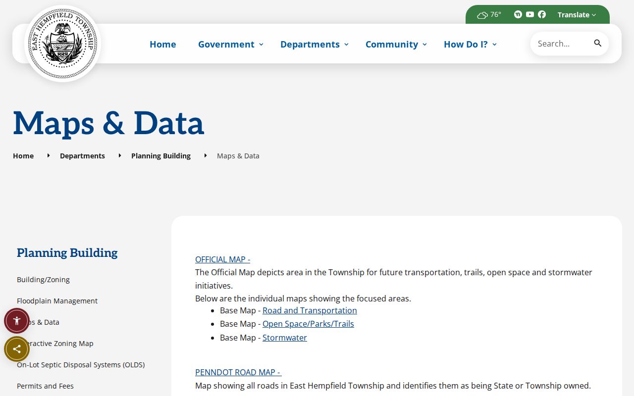
The 1864 atlas is valuable for road and land context, yet an old label is not equivalent to a current address or a modern ownership conclusion.
East Hempfield Township Records by Street
The following records have different purposes in an East Hempfield street directory search. Keeping them separate prevents a parcel record from being overstated as a resident list. County sources supply the present property and recorded-document layers, while the Township handles its own existing administrative files. The library and historical maps add dated context after the address or parcel has been anchored.
| Address record | Custodian | What it can establish | Access route |
|---|---|---|---|
| Assessment/property inquiry | Lancaster County Assessment Office | Parcel selection, owner label, site search criteria, sale and structure fields. | wEdge or the County Assessment counter. |
| Parcel GIS | County GIS Division | Parcel extent, roads, acreage, dimensions, deed reference, and aerial context. | Free LanCo View 2.0 map. |
| Recorded documents | Lancaster County Recorder of Deeds | Recorded parties, date, document placement, legal description, and title trail. | Public search after disclaimer or Suite 315 counter. |
| Historic mapping | Lancaster County Archives | Warrantee and dated road/land layers alongside modern geography. | Historical Map Viewer and archival route. |
| Permit, code, or inspection file | East Hempfield Development Services | Existing address-specific municipal material if retained and releasable. | Records-research request, counter, phone, or RTKL route. |
Street names can also sit beside different postal communities. For property research, municipality 290 is the stronger jurisdiction check. A mail label and ZIP help with delivery validation, while the parcel number and legal description carry the better connection across deeds and maps.
Keep East Hempfield Township Address Terms
A few field names recur across the street directory sources. Read them as distinct clues, since a mismatch may be meaningful rather than an error. The Recorder’s legal fields and the assessment portal’s address fields give the best way to keep a property trail from collapsing into one ambiguous street string.
- Parcel
- A defined tract or account in the county property system. Its identifier can bridge the map, assessment record, and Recorder search.
- Situs address
- The physical location of land or a structure. It is different from an owner’s tax mailing destination.
- Mailing address
- The address used for tax correspondence. It may be elsewhere and does not show every person connected with the parcel.
- Legal description
- The recorded land identifier, using municipality, lot, block, unit, or other deed language. It helps when a street search is uncertain.
- Criss-cross directory
- An address-arranged directory format. Exact East Hempfield coverage has not been verified, so ask the Library Local History collection about a selected year and community.
A library directory or census item can provide a dated published snapshot only after its coverage is checked. It should not be substituted for a parcel or deed trail when the question is tied to a specific property.
A 1729 East Hempfield Township Deed
Lancaster County recording began May 10, 1729, which creates an unusually long documented starting point for property research. That depth is useful only when the Township’s changing identity is kept in view. Before the 1818 and 1819 period, search predecessor Hempfield as well as East Hempfield. Original Hempfield once included areas that later became Manor, Columbia, Mountville, West Hempfield, and East Petersburg.
The State Archives guide places Hempfield assessments from 1751 to 1818 on roll 6049, followed by early East Hempfield assessments and later East Hempfield tax books through 1939 at LancasterHistory. A chain can therefore move from a predecessor assessment record to an East Hempfield tax book, deed document, and modern parcel map. It remains a research sequence, not proof that a particular person appears in every source or year.
East Hempfield Township Street Limits
A property owner, a recorded deed party, and a parcel map are not a complete answer to who is connected with a street address. Tax records identify the owner label. Maps display land geometry. The Recorder documents recorded parties. None of those sources identifies every household member, visitor, utility customer, or current occupant. Pennsylvania voter-status lookup is individual, and protected or redacted records remain outside a street browse.
Pennsylvania’s Address Confidentiality Program can provide qualifying survivors a substitute address, and RTKL exemptions can require redaction of protected personal information. An empty result can reflect coverage, indexing, privacy, or a mismatched jurisdiction. Verify a material question with the office that keeps the original record.