
East Hempfield Township ZIP Code Coverage
East Hempfield Township does not have one dedicated postal identity. The cautious list below identifies postal areas that may intersect or serve Township delivery context. Each line still needs a full-address result from USPS. These are not promises of street-by-street coverage, and they do not describe political boundaries. East Petersburg Borough, Mountville Borough, Lancaster city, and the Township remain separate governments even when a postal label overlaps the surrounding area.
| ZIP | Areas Covered | Post Office | Notes |
|---|---|---|---|
| 17520 | East Petersburg area or nearby Township delivery context | East Petersburg | Verify the exact address; borough and Township differ |
| 17538 | Landisville and a core Township postal label | Landisville | Township office uses this postal label; USPS result controls |
| 17543 | Postal-area edge or nearby delivery context | Lititz | Lititz municipality is not synonymous with the Township |
| 17545 | Postal-area edge or nearby delivery context | Manheim | Verify each address with USPS |
| 17554 | Western or southwestern postal context | Mountville | Mountville Borough is distinct from the Township |
| 17601 | Lancaster suburban and Township delivery context | Lancaster | A Lancaster label does not mean city limits |
| 17603 | Lancaster postal and Township-area delivery context | Lancaster | A Lancaster label does not mean city limits |
The Township's published office address uses Landisville 17538, a clear example of postal community and municipal identity working together without being the same thing. Exact USPS boundary polygons, a Township-wide ZIP map, PO-box-only or unique ZIPs, and a historic ZIP realignment were not verified in the official research. Do not supply those missing claims from a map thumbnail or a nearby address.
Note: The table is a verification starting point, not a Township-wide coverage assertion for every street.
Verify East Hempfield Township ZIP Codes
The official USPS ZIP Code Lookup is the first check for postal delivery. Enter the complete street address, not the Township name alone, and use the returned mailing city and ZIP as the postal answer for that address. A nearby store, an old envelope, or an online map label is not an equivalent verification. USPS answers a mail-routing question; it does not establish parcel ownership, Township membership, or household identity.
- Enter the full street number, street name, and requested address details in USPS Lookup.
- Record the mailing city and ZIP returned for that exact address, including the format USPS supplies.
- Use the street and number in county property research, then choose municipality 290 East Hempfield Twp when the parcel is within the Township.
- Compare the selected parcel in LanCo View 2.0 and use a recorded legal description when a historic document is involved.
- Keep postal, parcel, and deed facts in separate notes instead of converting one into another.
The USPS lookup screen is the documented place to validate a returned mailing label.
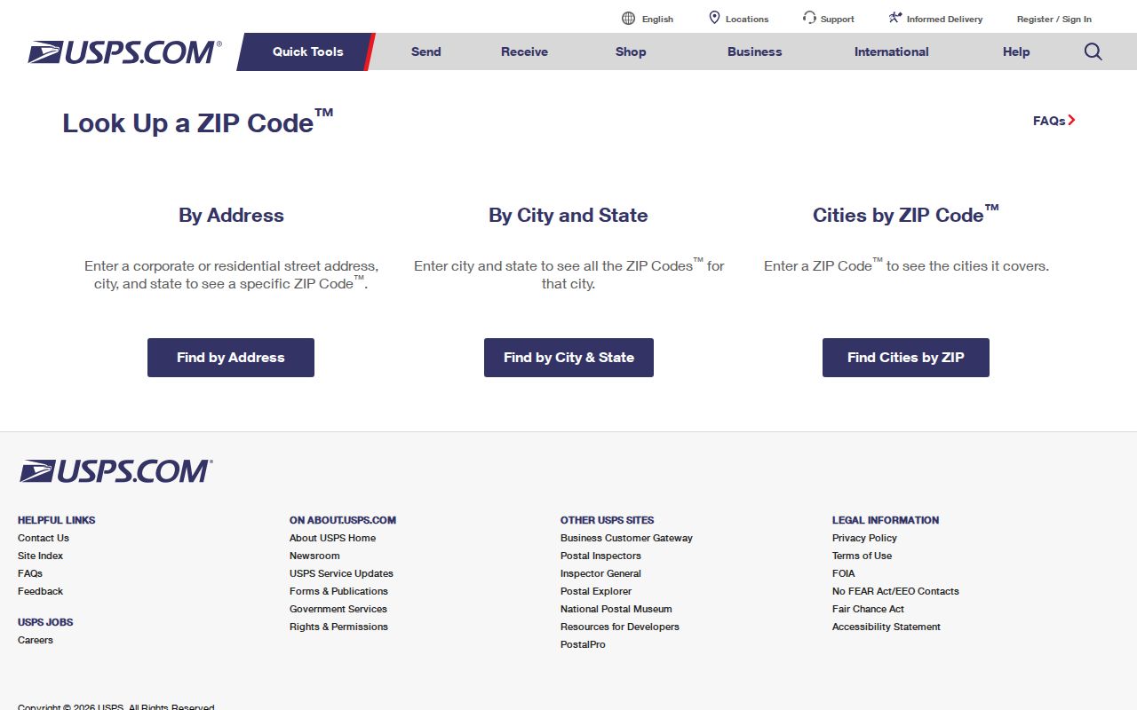
Once USPS confirms the ZIP code, use county parcel tools for the government and land-record part of the research rather than assuming the postal city names the municipality.
Note: Save USPS results with the date checked because an address format is a delivery answer rather than a legal location finding.
East Hempfield Township ZIP Code Property Search
The Lancaster County Property Tax Inquiry, also called wEdge, does not have a ZIP field. That absence is important. It cannot produce a ZIP-wide parcel or owner list from a ZIP filter. Its local filter is a street number and name paired with municipality 290 East Hempfield Twp. The map companion, LanCo View 2.0, supplies parcel geometry, roads, acreage, dimensions, aerial imagery, and a deed reference.
| wEdge field | East Hempfield pointer |
|---|---|
| Owner name | Use when a tax-record owner is already known; it does not identify all occupants. |
| Low and high house number | Use a bounded street segment rather than treating a ZIP as the search unit. |
| Street name | Pair with municipality 290 to reduce countywide same-name matches. |
| Municipality | Select 290 East Hempfield Twp for the local administrative filter. |
| Parcel, class, land use, sale, year-built, and area criteria | Use only when they fit the property question; none is a ZIP filter. |
For recorded facts, the Lancaster County Recorder search accepts party names, record date, document number, book and page, legal municipality, lot, block, unit, parcel number, and document type. A ZIP code can help validate modern delivery, but it cannot replace the parcel number or legal description in a deed trail.
Note: A tax-roll owner and a mailing ZIP identify fields in a record, not every member of a household.
Search East Hempfield Township ZIP Code
Use a ZIP code to narrow an exact address, then shift to the system that answers the next question. USPS validates the mail format. wEdge searches a parcel by address and municipality. LanCo View checks the mapped parcel. The Recorder ties that parcel or legal description to recorded documents. This workflow deliberately does not claim a public ZIP-wide list of residents, because neither the property portal nor the individual voter-status tool provides that function.
Pennsylvania's documented voter-list request route is controlled, and its listed products are a Public Information List, Street List, Walking List, and Full Voter Export. The captured request form describes county selection, including Lancaster, but not a ZIP filter. It requires requester identification and a signed non-publication and lawful-use affirmation. The published form lists $20 for each electronic product, although the current effective form and county procedure should be confirmed before a request. That process is not an online postal-directory search.
- Run the exact address in USPS Lookup and retain the returned mailing city and ZIP.
- Search the same street and number in wEdge with municipality 290 East Hempfield Twp.
- Open the parcel in LanCo View and compare the road, boundary, and deed reference.
- Use the Recorder's legal or parcel fields for a document question, and review the actual indexed document context.
- For an individual registration issue, use the state voter-status channel or ask Lancaster County Elections about the permitted request process.
When a ZIP has narrowed the address to a particular road, the East Hempfield Township street directory has the fuller street-by-street parcel and document sequence.
Note: A street-list request has controlled conditions and should be directed to the elections office instead of copied into a ZIP list.
East Hempfield Township Postal Address Terms
Three address terms prevent common ZIP code errors. A situs address is the physical place of a parcel or structure. A mailing address is where tax correspondence is sent, and it can be elsewhere. A legal description identifies the land in recorded documents through a municipality, lot, block, unit, or other recorded land description. The Recorder's legal fields and the wEdge parcel fields are therefore more durable than a mail label when comparing a historical document.
- ZIP code and ZIP+4
- A ZIP code is a USPS delivery geography. ZIP+4 is an added routing detail for a more specific delivery segment.
- PO-box ZIP
- A ZIP used for post-office boxes rather than a claim that it maps to all street delivery in an area.
- Unique ZIP
- A ZIP assigned to a single institution or organization. No such East Hempfield example was verified in the research.
- Carrier route
- A mail-delivery grouping. It is not a Township boundary, parcel boundary, or resident roster.
A postal label can be useful for address formatting. It should never become proof that the address lies in a particular borough, city, or Township.
East Hempfield Township ZIP Code Boundaries
Postal boundaries and East Hempfield Township limits are different kinds of geography. The Census describes the Township as a 21.07-square-mile Lancaster County municipality, while USPS serves delivery routes that can cross local-government lines. This is why a Lancaster postal label does not make an address part of Lancaster city, and a Landisville label does not make every nearby address part of the Township. County municipality code 290 is the better administrative check for property research.
The Census geography reference provides context for the Township as a distinct geographic unit.
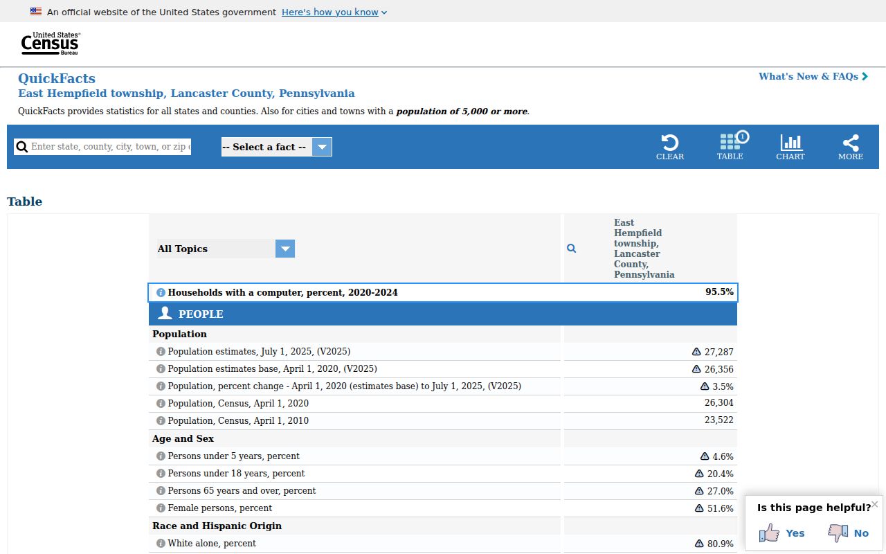
Use Census geography as context, then use USPS for delivery and county records for the official parcel or municipal question.
East Hempfield Township ZIP Code Map Context
Historic research needs a land and road bridge, not a guessed old ZIP. The Township map resources include a PennDOT road map, current official and planning maps, and an 1864 Landowner Atlas. Lancaster County Archives adds historic layers for warrantee land and the years 1824, 1864, 1875, and 1899. Start with the modern parcel, preserve its legal description, and then compare those historical map layers. No Township-wide street renumbering or ZIP realignment was verified in the official sources.
The Recorder's municipality and school-district listing displays the practical county cue, 290 East Hempfield Township and Hempfield.
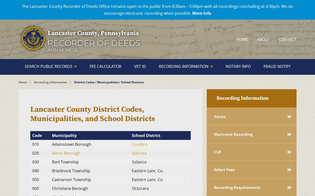
That municipality code lets a ZIP-based address question move into the County record system without confusing a postal label for a legal location.
Note: Historic maps help compare road and parcel context but do not supply a verified historic ZIP.
East Hempfield Township ZIP Code Limits
A ZIP code directory can answer where USPS sends mail for a full address. It cannot say who occupies a home, whether a tax owner receives mail there, or whether a historic deed used the same street wording. Utilities and delivery data are not public household directories. An individual voter-status check is also not a public browse-by-ZIP service. Where an address remains uncertain, use the current parcel, Recorder legal description, county map, and the applicable custodian's records process.
For a Township-held planning, permit, or code record, identify the exact address and date range before contacting Development Services or using the Pennsylvania Right-to-Know Law route. Public records can contain redactions, and only existing releasable records can be supplied. Postal research stays more accurate when its limits are stated plainly. If a street has the same name elsewhere in Lancaster County, retain the returned USPS format but compare municipality 290, parcel number, and road location before attaching the result to an East Hempfield Township record.